At the Aosta Ovest motorway junction , enter the roundabout and take the second exit, following the signs for / Cogne / Aymavilles. Continue along the for 20.0 km (20.0 km) until you reach the roundabout at the entrance to Cogne, where you should take the first exit onto Avenue G.F. Cavagnet (350 m, 20.35 km). Continue along Via Bourgeois (120 m, 20.5 km), then turn right onto Rue Grand Paradis. Follow Rue Grand Paradis for 2.4 km (22.9 km), continue through the hamlet of Valnontey for 210 m (23.1 km) and turn right to reach the car park.
Car park
At the end of the road is the Valnontey car park 🅿️, the access point to the Gran Paradiso National Park. Please check on site for access conditions and any seasonal restrictions imposed by the park authority.
Access by public transport
The Valnontey car park can be reached via the Cogne circular bus route operated by SVAP. The relevant stop is Cogne Valnontey. The winter service runs every weekday and on public holidays, except 25 December and during the summer; services to the Valnontey stop depart from Cogne Revettaz at 09:00, 10.05, 11.10, 12.40 and 15.00, arriving at Valnontey at 09.25, 10.30, 11.35, 13.05 and 15.25 respectively. For up-to-date timetables, please consult the SVAP – Cogne Urban Line timetable.
The directions provided were verified on the date the route was mapped. Before setting off, we recommend checking for any changes to the route or road conditions. For up-to-date information, please consult Google Maps or Apple Maps.
Introduction
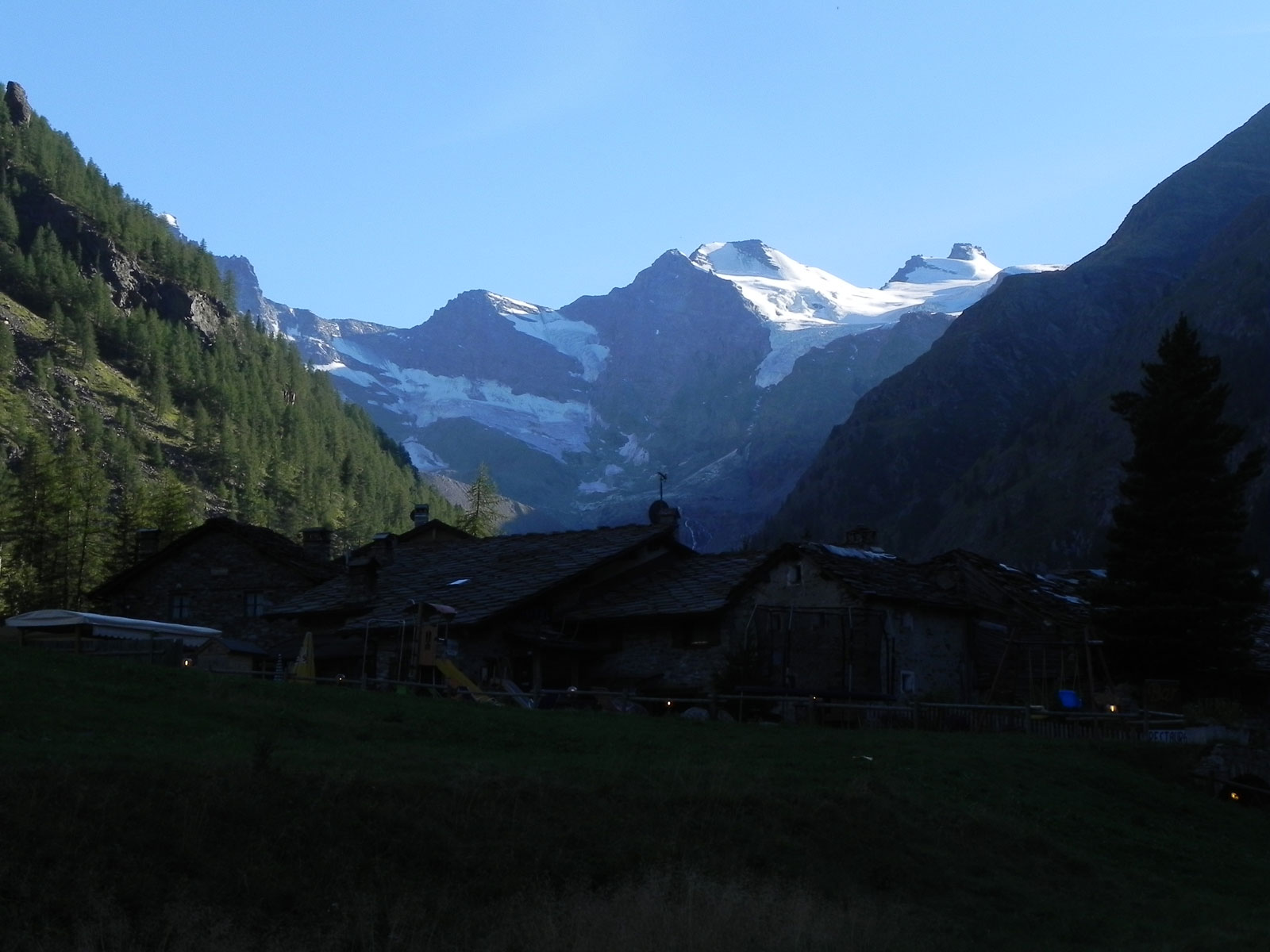
Nestled within the Gran Paradiso National Park, Valnontey offers an excellent introduction to exploring this centuries-old protected area. It is no coincidence that the Paradisia Botanical Garden, home to the main alpine species found in the park, is situated near the village of the same name. The route described here winds gently through the valley, offering interesting views of the surrounding glaciers. Although at a low altitude, the trail allows you to fully appreciate the essence of the Park and the delicate balance between human activity and nature.
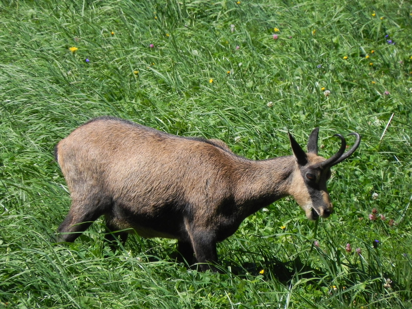
We recommend visiting in autumn so that you can also appreciate the larch foliage, as well as the local wildlife, which is a little more at ease given that it is a quieter time of year.
Description
0h00'0.00km
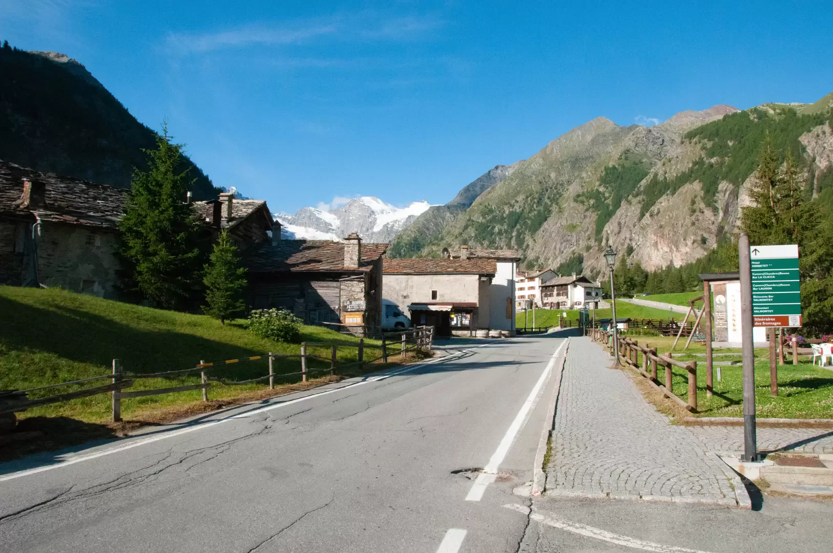
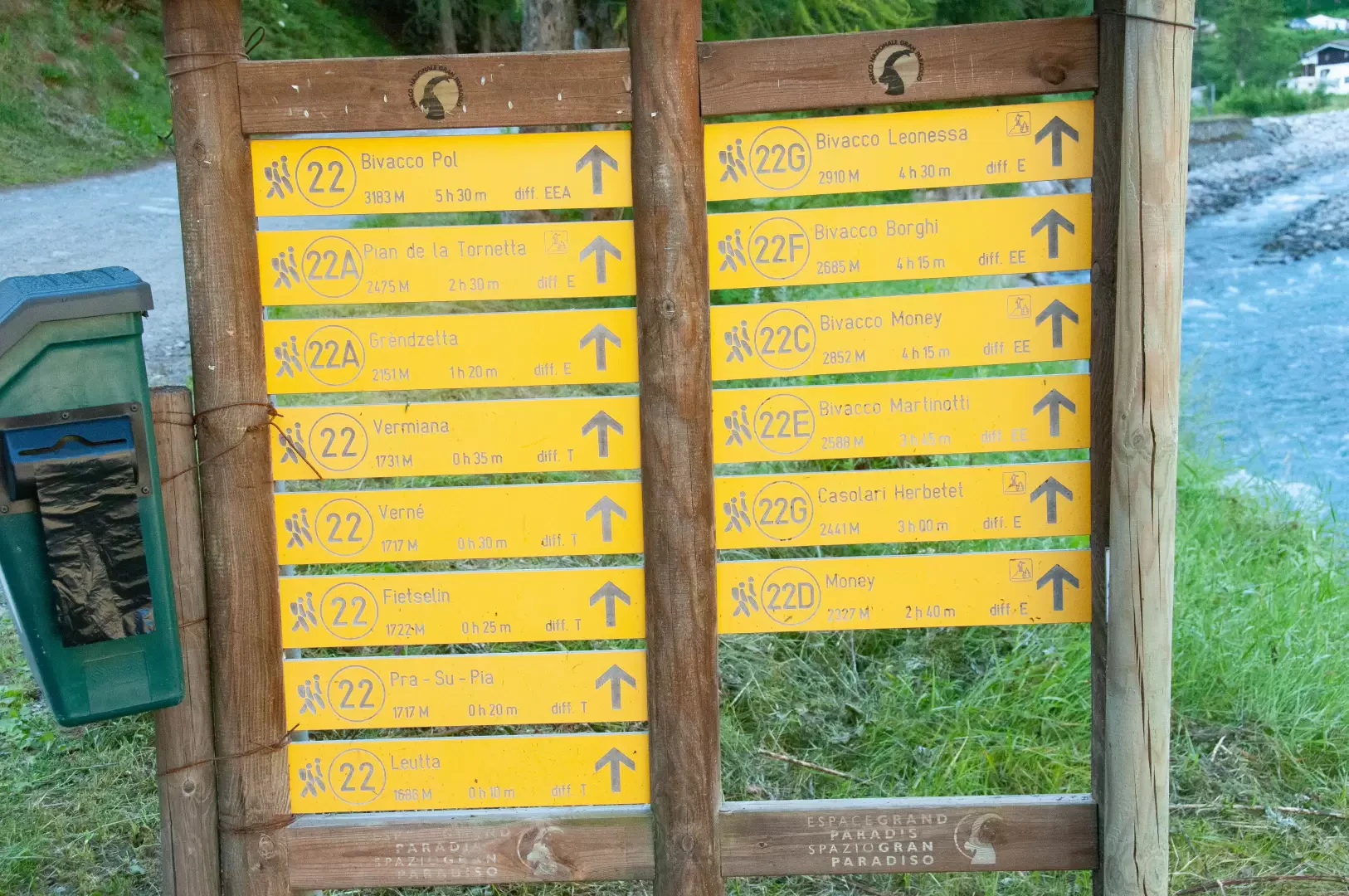
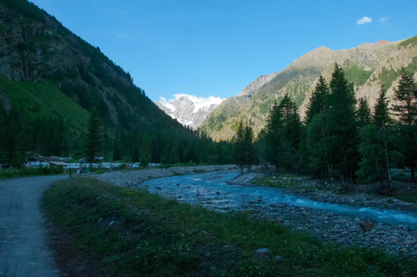
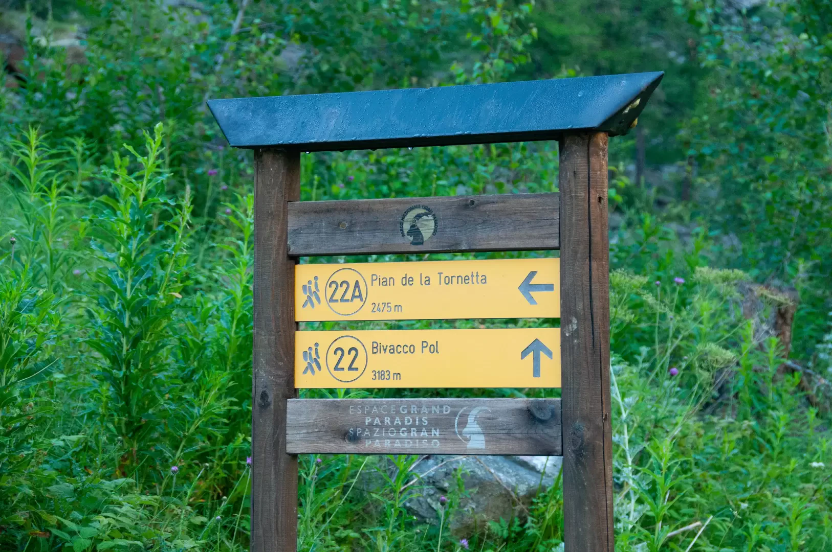
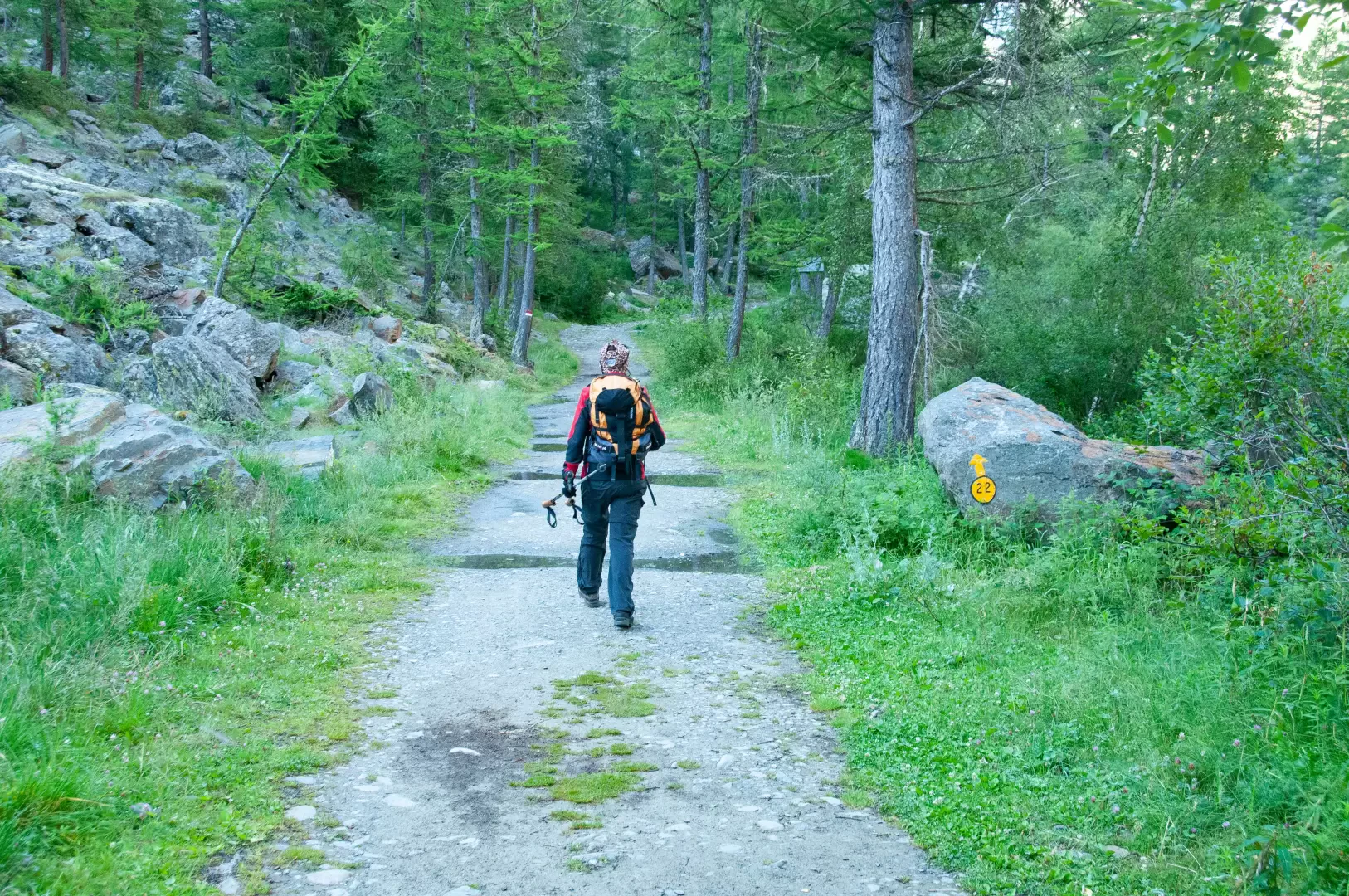
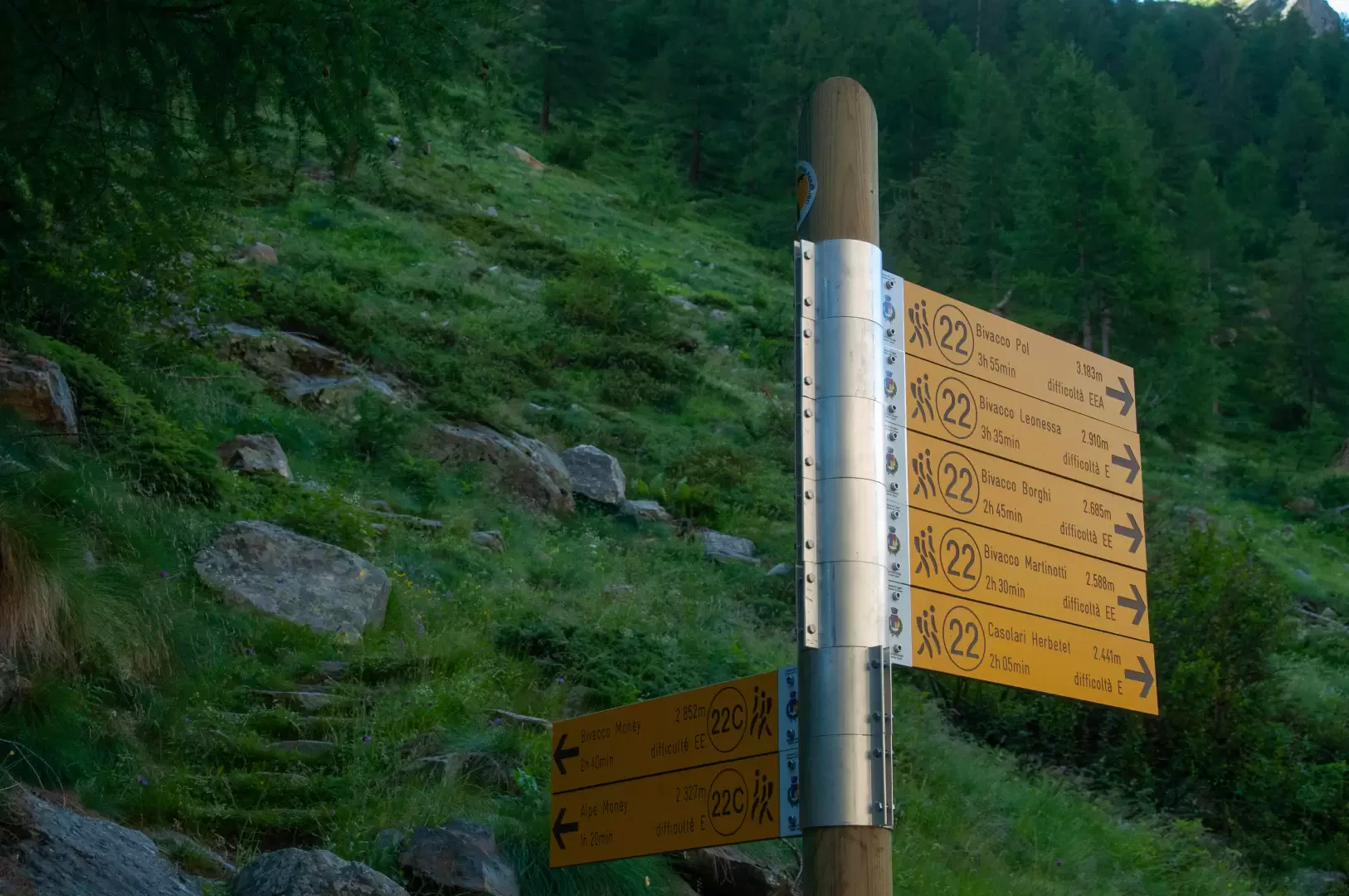
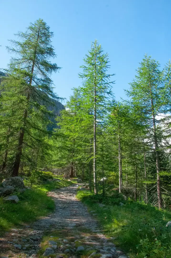
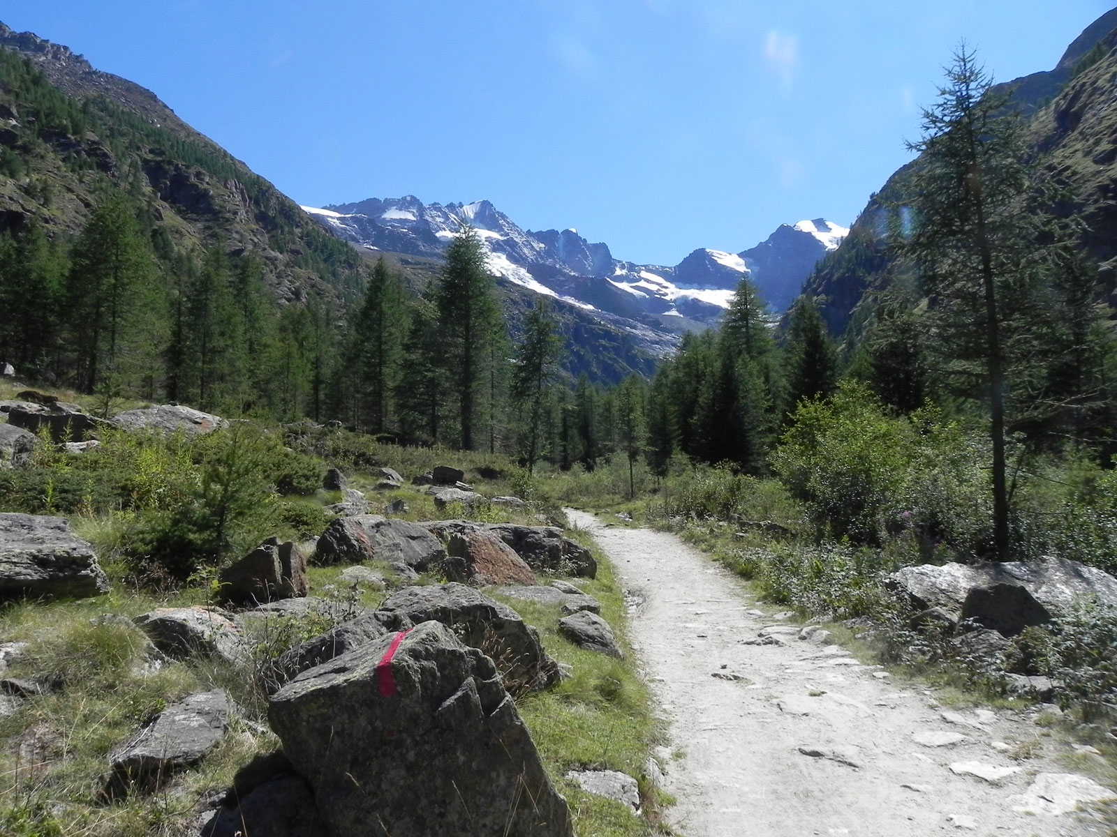
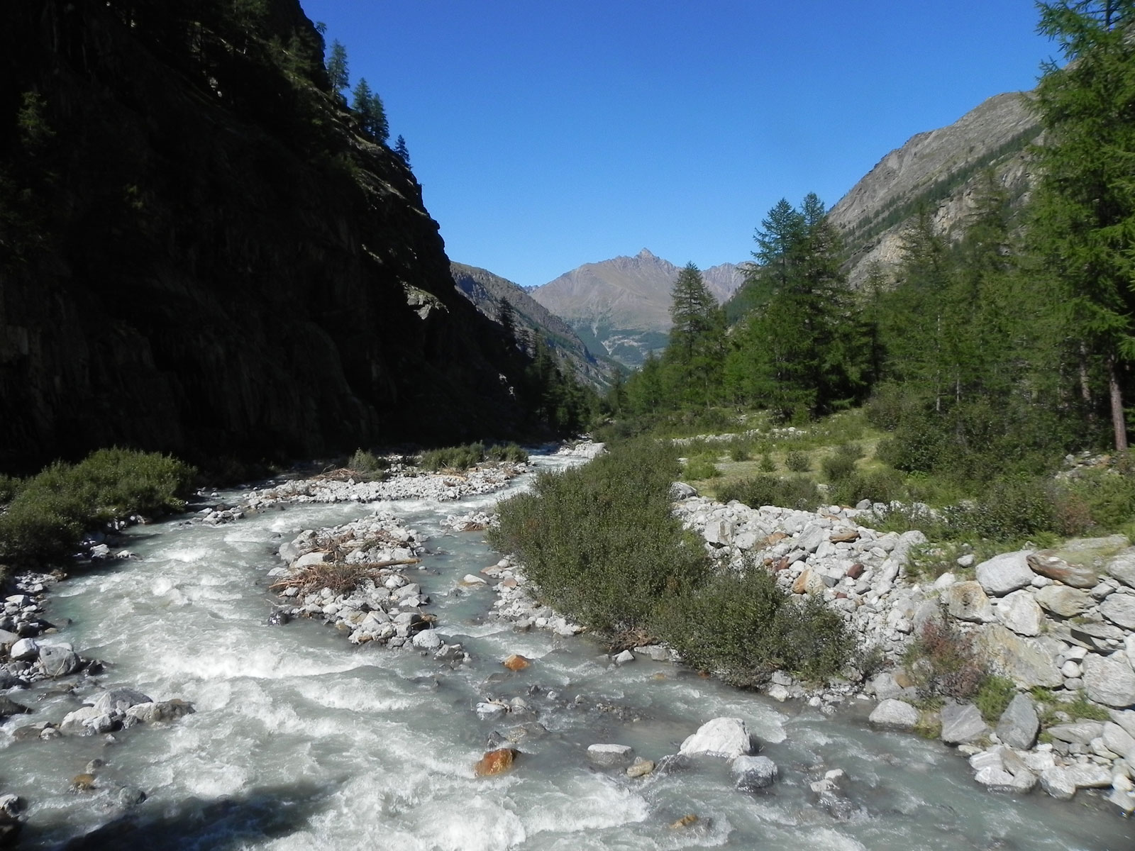
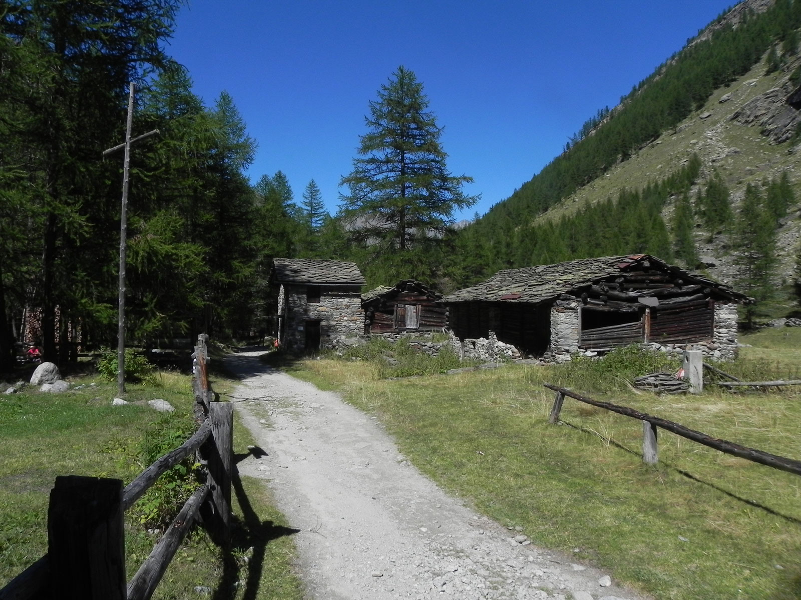
From the car park, head towards the village of Valnontey, where you’ll come across a drinking fountain 💧 and signposts indicating the main trails in the valley. Continue along the flat, unpaved track that runs alongside the Torrent de Valnontey and the “Gran Paradiso” campsite. You enter the larch forest (Larix decidua), which in autumn bursts into picturesque shades of light and dark, and shortly afterwards you’ll come to the signpost for Plan de la Tornetta.
0h15'1.05km Ignore the path
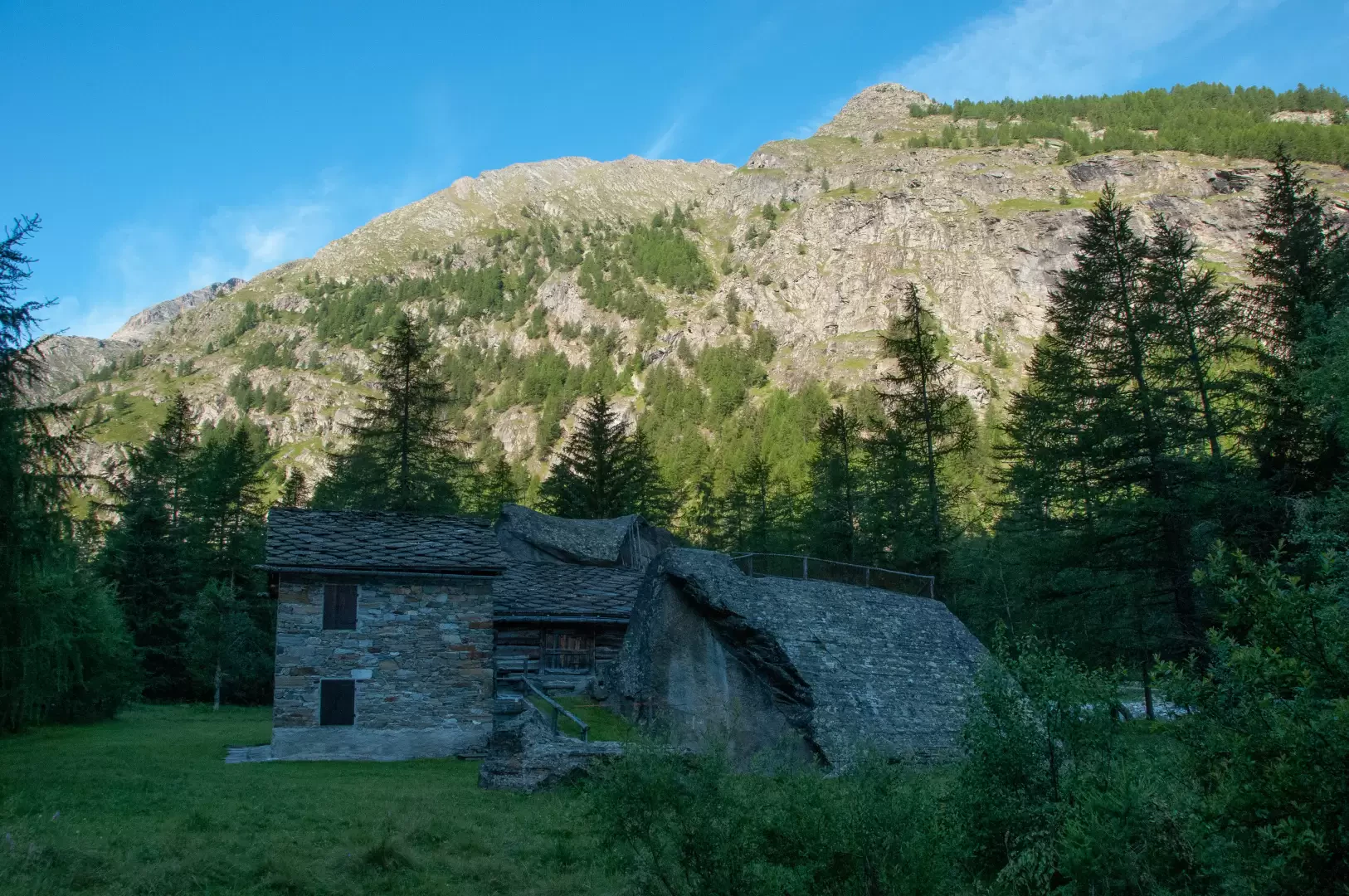
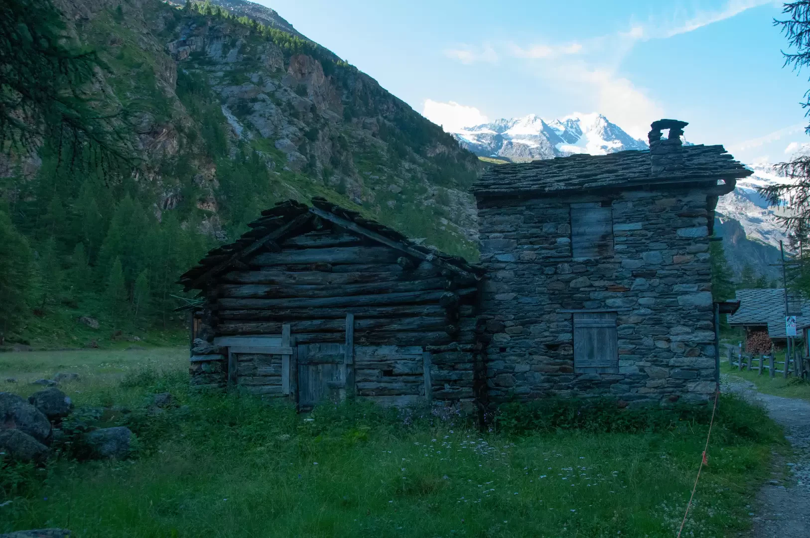
and continue straight on, always on level ground, along the old royal hunting road, which in places widens into a broad track, quickly reaching the small village of David (1,713 m) with its buildings clinging to erratic boulders.
0h30'1.76km Continue along the flat path until you reach the village of Vermianaz – Vermiana (1745m).
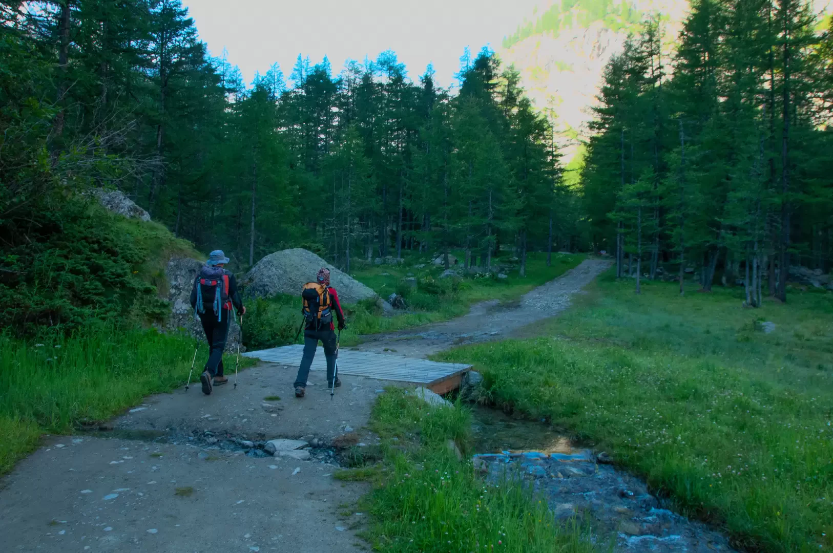
0h45'2.64km Once past the village, after about 400m and shortly after crossing a small stream via a wooden footbridge, leave the dirt track and take the well-signposted path branching off to the left (1784m). Continue along the path, which, maintaining a moderate gradient, quickly reaches the junction for the Alpe and the Money Bivouac (1,807 m).
1h00'3.69km (140 m elevation gain) (0 m elevation loss)Ignore the path
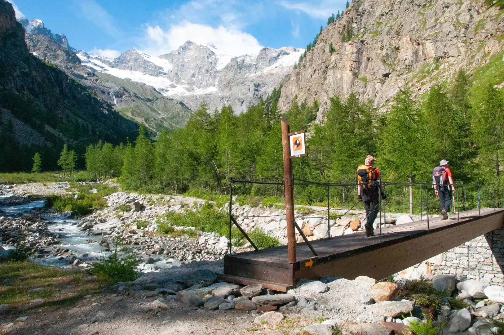
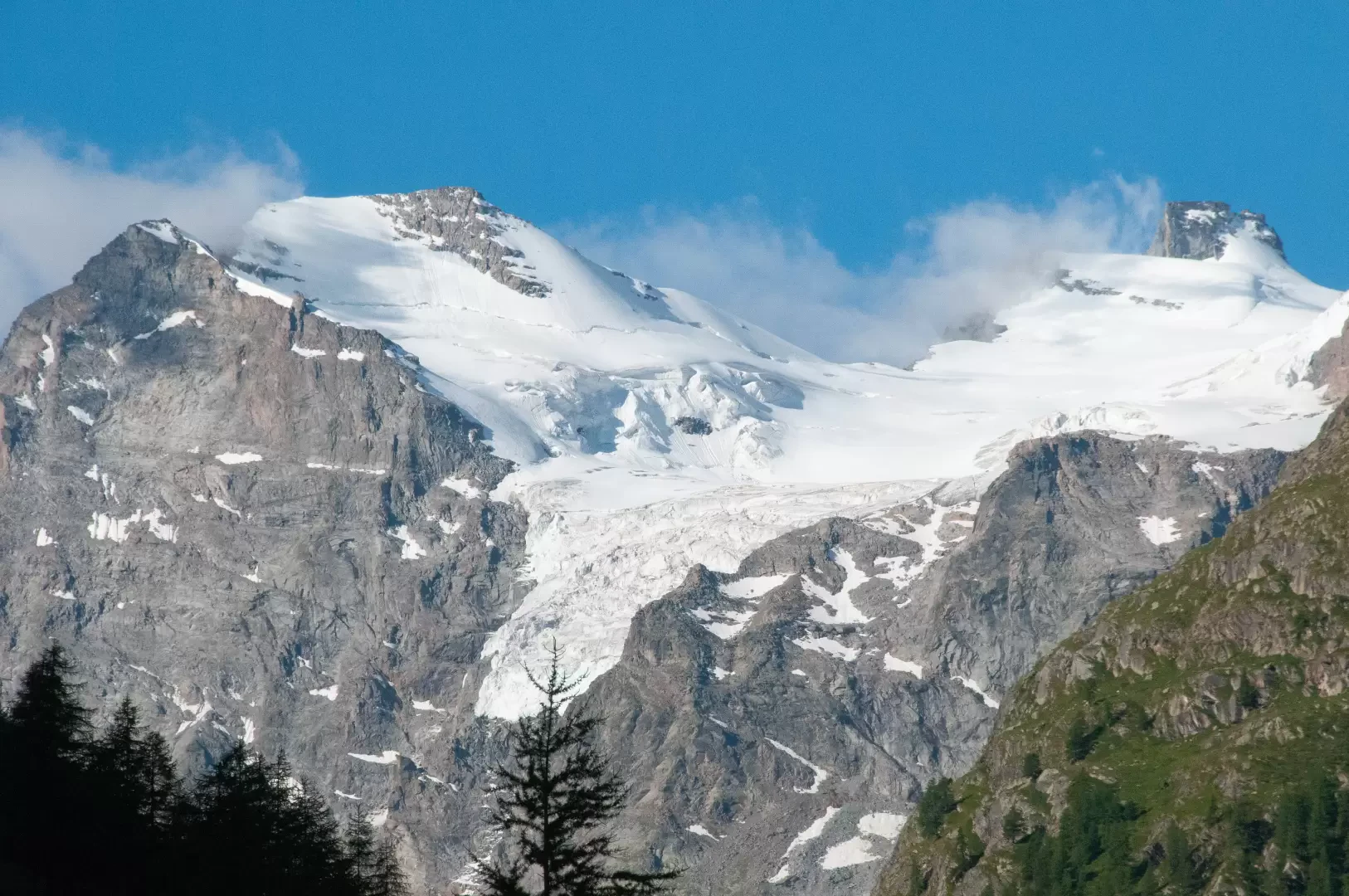
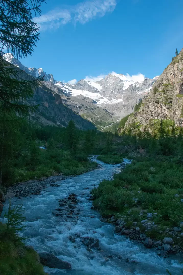
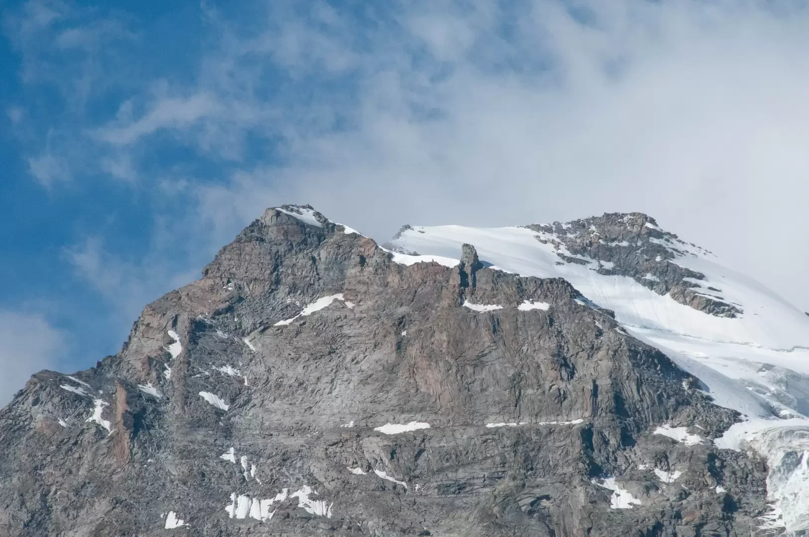
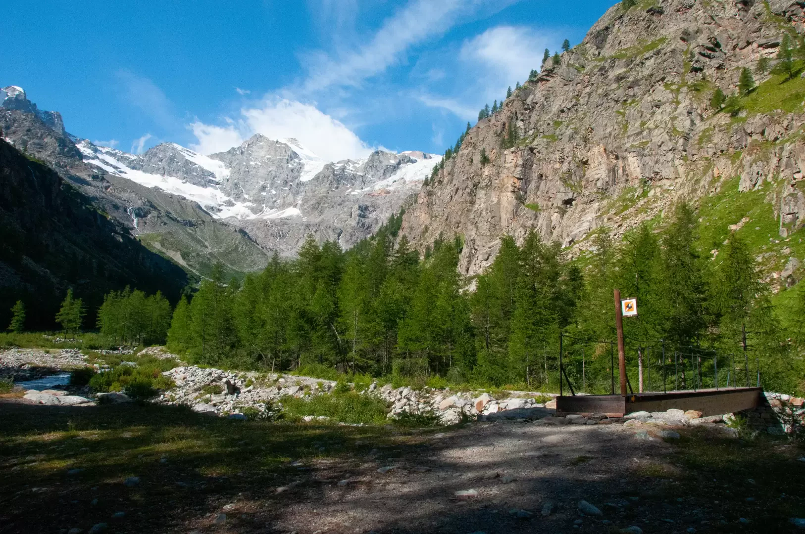
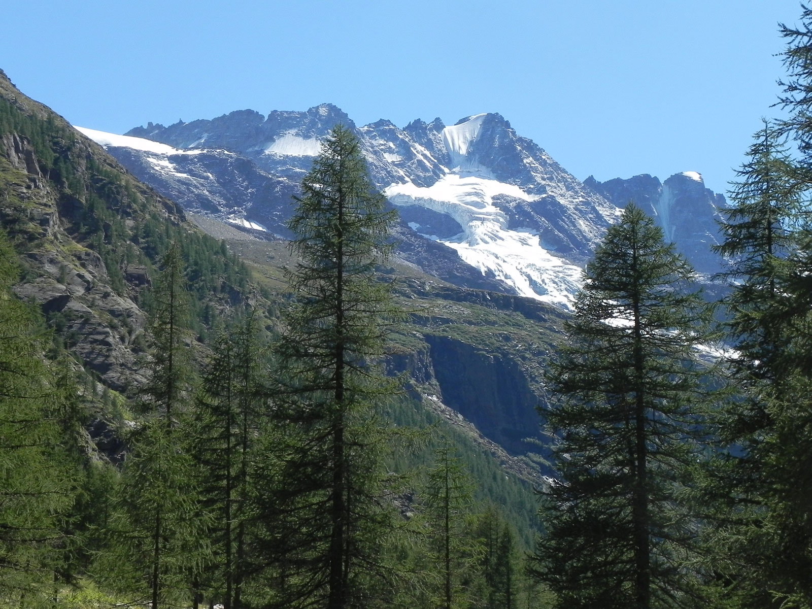
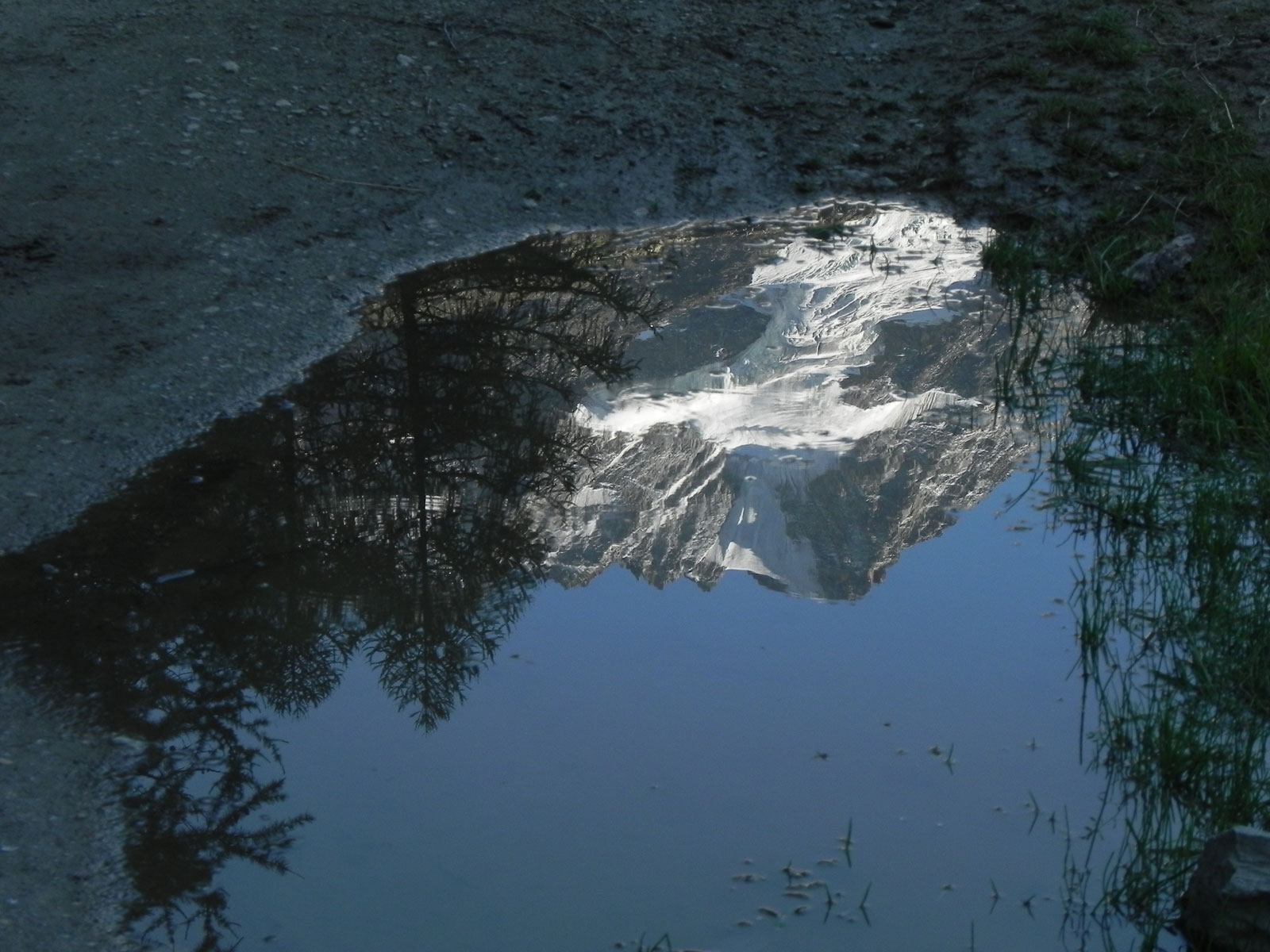
on the right and tackle the final stretch of the route, skirting the Torrent de Valnontey, whilst enjoying beautiful panoramic views of the head of the valley, with a spectacular vista of the seracs of the Tribolazione Glacier. Shortly afterwards, having crossed a final wooden footbridge, you finally reach the Pont de l’Erfaulet (1,830 m) 1h15'4.51km (164 m ascent) (0 m descent).
The return journey follows the same route as the outward leg 1h15'4.51km (0 m elevation gain) (164 m elevation loss).


Comments (0)
Sign in to leave a comment